Login

DORIS

Translations: Swedish, French

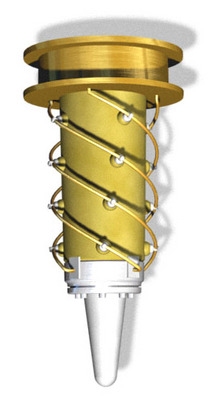
DORIS
is a Doppler satellite tracking system developed for precise orbit determination and precise ground location. It is onboard the Jason-1 and ENVISAT altimetric satellites and the remote sensing satellites SPOT-2, SPOT-4 and SPOT-5. It also flew with SPOT-3 and TOPEX/ POSEIDON.

Principle
How does Doris work? The Doris system is based on the principle of the Doppler effect. It is a system optimized for orbit determination with extreme precision, global coverage and all-weather measurements.
 
System
Details on Doris instrument which is part of the satellite payload, on terrestrial stations, on control and processing center and on system enhancements.
 
Doris applications
In addition to its functions in orbitography, Doris as a space surveyor is also a terrestrial positioning system that has found many applications in geodesy and geophysics.
 
Doris missions
With more satellites carrying the Doris instrument, the system will make more accurate than before.